DISCOVER
LEROS

PANTELI

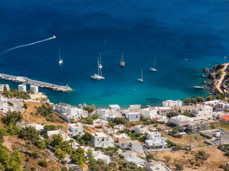
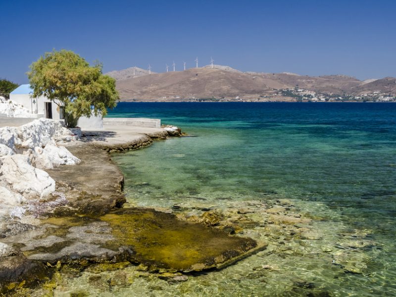
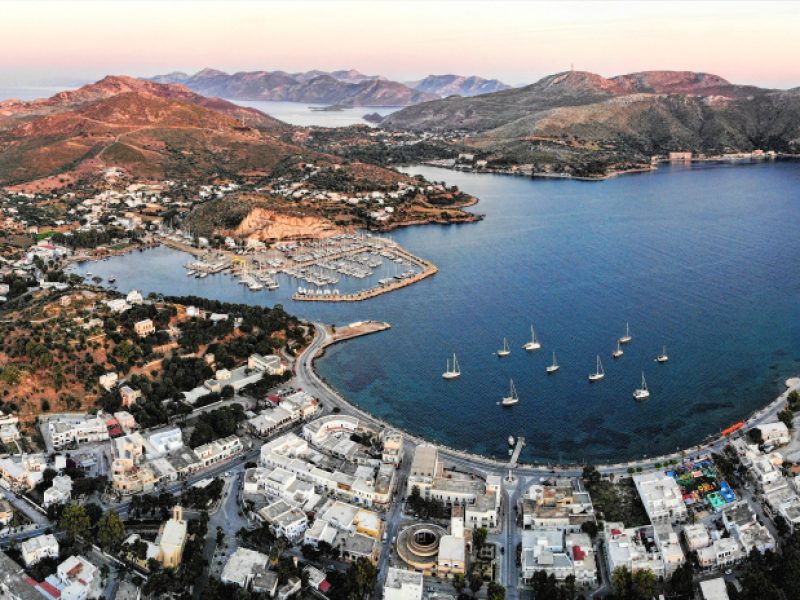
Panteli (or Рandеli) is a fishermen’s village on the eastern coast of the island: a quiet place, with a friendly atmosphere and also popular for its taverns serving fresh fish and fruit of the sea. The Panteli beach is organized with one of the biggest beach bar in the island, while there are also other shops and mini markets at a close distance.

DISTANCE & MAP link

Distance from the Lakki shop by bike: 3,4 km – 11 minutes

Map Link: https://maps.app.goo.gl/PKGusZaq2JjkThPq6

Agia Marina: area and beach

Agia Marina, the capital town of Leros, is built on Agia Marina bay. This used to be the island’s port area prior to the present harbour location (Lakki). It comprises the areas of Agia Marina, Platanos (Leros’ oldest quarter) and Panteli (with a small beach). The area features graceful old mansions with stone or wooden balconies, whitewashed yard walls and narrow, picturesque alleys. Brouzi, the old Roman fort, lies at the side of the town where there are remarkable pieces of mosaic art, archshaped constructions, and the ruins of an aqueduct which ran as a shipyard until 1988. A delicious beach is also located in Agia Marina.

DISTANCE & MAP link

Distance from the Lakki shop by bike: 3,9 km – 11 minutes

Map Link: https://maps.app.goo.gl/cMNZaqUBvg36HHqk7

Panagia Castle

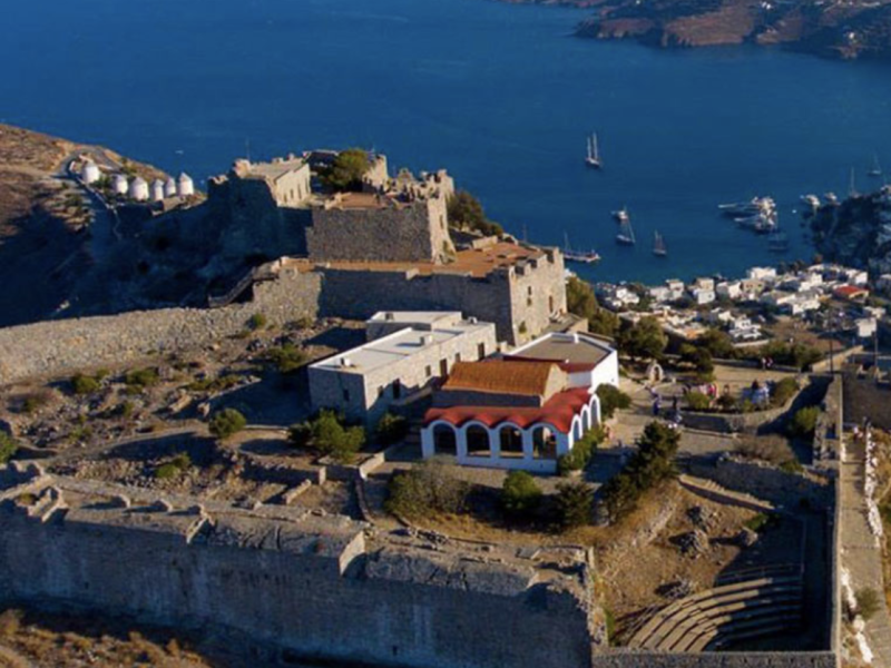
The Castle of Panagia (or Leros) is located in the north-east area of the island and at a height of about 600 meters from the sea. It takes its name from the church of Virgin Mary because the icon of Panagia (Virgin Mary) reached the island of Leros in a miraculous way, but also in an equally miraculous way, Panagia herself chose the place of Her temple.

DISTANCE & MAP link

Distance from the Lakki shop by bike: 4,3 km – 13 minutes

Map Link: https://maps.app.goo.gl/3XqcGmmDWeiDtEGQ8

Alinda: area and beach

Alinda attracts most of the island’s tourism traffic. It is built in a verdant area, near Platanos. Towards the west you will find Kokkali beach and the small Agios Konstantinos church. Farther south, past Gourna bay, visit the small Panagia Gourlomata church, near “Drimonas” location; this is the island’s most significant medieval church. Near a wonderful an quiet beach, just near our GreenBikeMe Shop in Alinda.

DISTANCE & MAP link

Distance from the Lakki shop by bike: 6,6 km – 15 minutes

Map Link: https://maps.app.goo.gl/jLbDk6BQ2AEkgaq17

Agios Isidoros

Agios Isidoros is one of the most romantic spots in the island. It is a picturesque small church in the area of Kokkali, built on an island that is united with the land through a stone path. An idea place for photographs and romantic walks, overlooking the church that looks as if emerging from the sea.

DISTANCE & MAP link

Distance from the Lakki shop by bike: 7,5 km – 18 minutes

Map Link: https://maps.app.goo.gl/Tp2ddTT9FHmjb2uv5

Agia Kioura beach

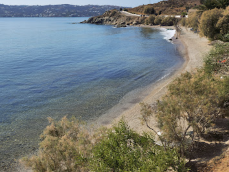
Small, isolated but beautiful beach with sand in the sea and pebbles in the shore. Ideal for diving but not organized.

DISTANCE & MAP link

Distance from the Lakki shop by bike: 11,7 km – 25 minutes

Map Link: https://maps.app.goo.gl/5zpNg84KzWnu13Mw5

Drymonas: area and Beach

In Gournas Bay, on the rather deserted western coast of Leros, lies the tourist resort of Gourna and the small fishing community of Drymonas. Quiet beach ideal for relaxation after a long ride. A delicious restaurant is located near the beach.

DISTANCE & MAP link

Distance from the Lakki shop by bike: 4,2 km – 13 minutes

Map Link: https://maps.app.goo.gl/apNqogbj6VtMDfD88

Merikia Beach

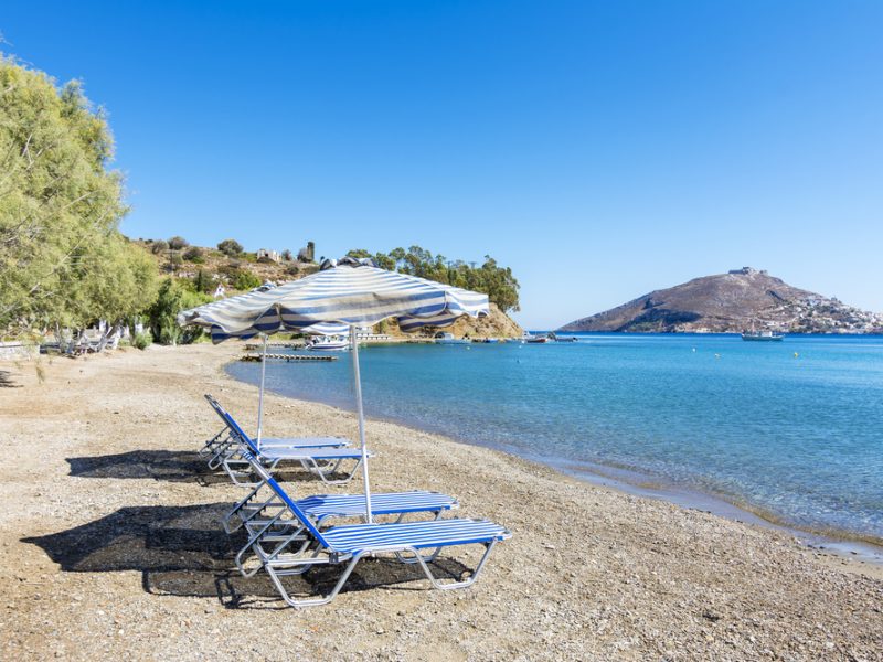
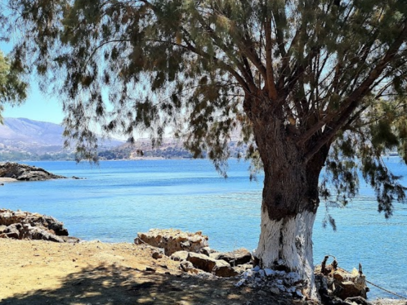
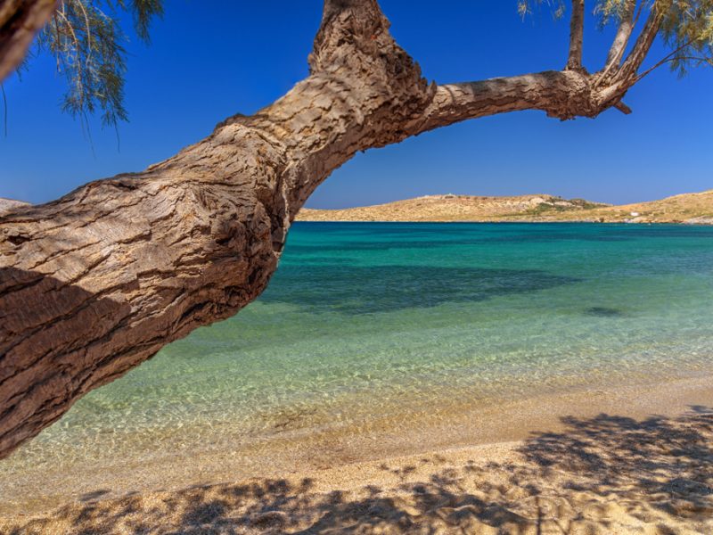
Beautiful, quiet beach, located very close to Koulouki. It has crystal waters, pebbles and big tamarisks that protect from the sun.

DISTANCE & MAP link

Distance from the Lakki shop by bike: 2 km – 9 minutes

Map Link: https://maps.app.goo.gl/1mPHfXzv2VkfjKgP9

Blefouti Beach and restaurants

Blefoutis beach is located in a bay that bears the same name. The beach is equipped with umbrellas, sunbeds and everything that contributes to making it one of the best beaches in Leros. Pebbles, lots of shade, trees, blue water and a wonderfully restful view, as well as many delicious little restaurants complete its description.

DISTANCE & MAP link

Distance from the Lakki shop by bike: 11,8 km – 25 minutes

Map Link: https://maps.app.goo.gl/MgrBgxV3KnuJoaTBA

Dio Liskaria beach

A beautiful cove with deep blue waters and windless beach. This small beach is organized with umbrellas and sunbeds, while there are shops for coffee and food at a close distance.

DISTANCE & MAP link

Distance from the Lakki shop by bike: 7,8 km – 18 minutes

Map Link: https://maps.app.goo.gl/ADYUQn6fmArjdUPu8

Panagia Kavouradena Church

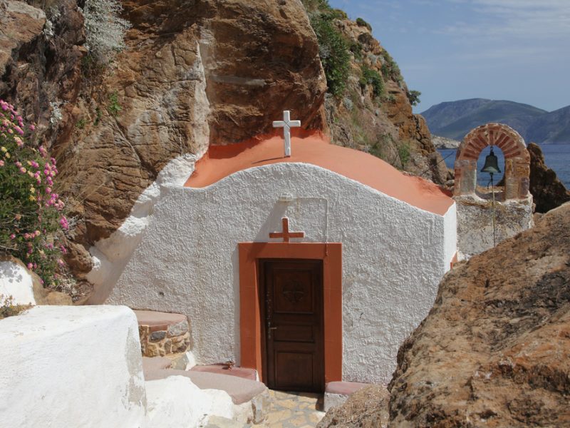
Built between two big rocks, the church of Panagia Kavouradena is one of the most beautiful churches of Leros. Here, you will admire the plain beauty and the majesty of the island.

DISTANCE & MAP link

Distance from the Lakki shop by bike: 5,1 km – 14 minutes

Map Link: https://maps.app.goo.gl/6iGgft1fppBi4k13A

Windmills

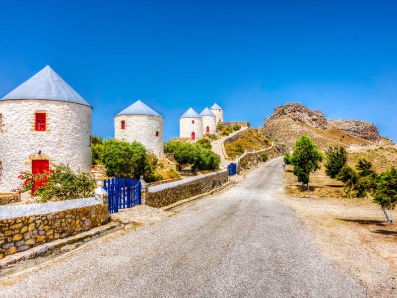
At the top of the hill next to Leros Castle are six windmills restored in 2000 and 2001. One of the mills, the highest one, has been structurally and functionally restored as an old mill, with a mechanism that works today (it can produce flour) as it originally was. The others have become multifunctional spaces, for exhibitions or other activities including a café with a magnificent view.

DISTANCE & MAP link

Distance from the Lakki shop by bike: 4 km – 14 minutes

Map Link: https://maps.app.goo.gl/cEVxqZvYH91U5yKy9


Lakki

Lakki is a pretty village with a planning that re- sembles that of a European town; eucalyptus trees border the streets in front of the imposing buildings in the Italian architectural style. The design and creation of a town on this scenic bay took place during the Italian rule (1930-1936). Lakki is the largest natural harbour of the east- ern Mediterranean and its bay was formerly a swamp. In order to drain the swamp waters, so as to be able to build their naval station and hy- droplane base, the Italians planted eucalyptus trees.

DISTANCE & MAP link

Distance from the Lakki shop by bike: 350 m – 4 minutes

Map Link: https://maps.app.goo.gl/PqV41jhtJmmE9u5c7

Listening Wall or Aerofono

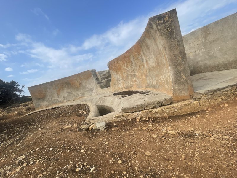
The Monte Patella Listening Wall or Aerofono is the only military structure known to date designed to capture the acoustic waves of enemy aircraft. With a diameter of approximately 18 meters and a height of approximately 2.30 metres, it is also defined as a passive acoustic radar “before its time”. The structure, of great tourist, historical and cultural interest, is located at the top of a hilly area and is practically impossible to reach except on foot or by bike. Reachable only with XRIDE or MTB Ebike model because of the rough road.

DISTANCE & MAP link

Distance from the Lakki shop by bike: 6,7 km – 24 minutes

Map Link: https://maps.app.goo.gl/FMqik6oCsi8WQQWt6

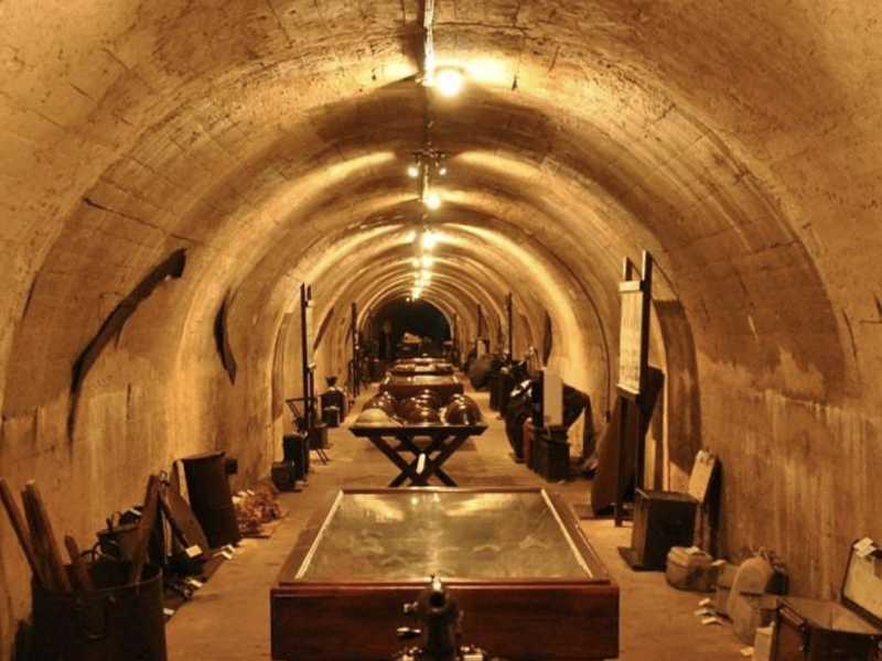
War Tunnel Museum

The War Tunnel Museum, in the Merichia area, displays important objects from the Second World War period. It was inaugurated in August 2005, offers a vast collection of objects and, unique worldwide for its originality, was built by the Italian army and used during the Second World War.

DISTANCE & MAP link

Distance from the Lakki shop by bike: 2,6 km – 9 minutes

Map Link: https://maps.app.goo.gl/2JgwiK7R6rSeHfCT9